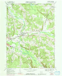
1968 Map of Columbus
USGS Topo · Published 1991About this map
Brokenstraw Creek and the Erie-Lackawanna railroad define the industrial and natural corridors of northwestern Warren County in the late 1960s. The village of Columbus serves as a central hub, flanked by the Westlawn Cem and the Curtis Cem, which provide essential points of reference for genealogists tracing local families. The landscape is a mix of lowland marshes and upland ridges, with the Tamarack Swamp and Benson Swamp indicating the wet, uncultivated bottomlands that contrast with the developed tracks of the Penn Central line.
Find a feature on this map
42 named features on this map. Tap any name to fly to it.
Don’t see what you’re looking for? This feature index may not catch every label — zoom into the map to look around manually.
Map Details
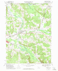
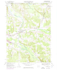
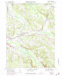
Editions of this 1968 Columbus Map
4 editions found
Other maps of this area

1904 · Chautaqua
USGS Topo · 1:62,500

1905 · Clymer
USGS Topo · 1:62,500

1926 · Youngsville
USGS Topo · 1:62,500

1929 · Corry
USGS Topo · 1:48,000

1929 · Youngsville
USGS Topo · 1:62,500

1932 · Corry
USGS Topo · 1:62,500

1939 · Clymer
USGS Topo · 1:62,500

1941 · Chautauqua
USGS Topo · 1:62,500

1941 · Clymer
USGS Topo · 1:62,500

1943 · Youngsville
USGS Topo · 1:62,500