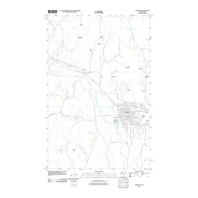
2011 Map of Colville
USGS Topo · Published 2011About this map
Pinkney City and the surrounding Colville Valley are captured in this 2011 survey, reflecting the deep agricultural and industrial roots of Stevens County. The Colville River winds through the valley floor, flanked by historical industrial sites like the Bonanza Lead Mill and Spanish Prairie Quarry. To the north, the Phipps Homestead stands near the base of Rattlesnake Mountain, illustrating the early settlement patterns of this region.
Find a feature on this map
60 named features on this map. Tap any name to fly to it.
Don’t see what you’re looking for? This feature index may not catch every label — zoom into the map to look around manually.
Map Details
Editions of this 2011 Colville Map
This is the sole edition of this map. No revisions or reprints were ever made.
Other maps of this area

1927 · Chewelah
USGS Topo · 1:125,000

1929 · Colville
USGS Topo · 1:125,000

1930 · Chewelah
USGS Topo · 1:125,000

1933 · Colville
USGS Topo · 1:125,000

1936 · Marcus
USGS Topo · 1:96,000

1942 · Marcus
USGS Topo · 1:125,000

1948 · Kettle Falls
USGS Topo · 1:62,500

1950 · Inchelium
USGS Topo · 1:62,500

1951 · Kettle Falls
USGS Topo · 1:62,500

1952 · Gillette Mtn
USGS Topo · 1:24,000