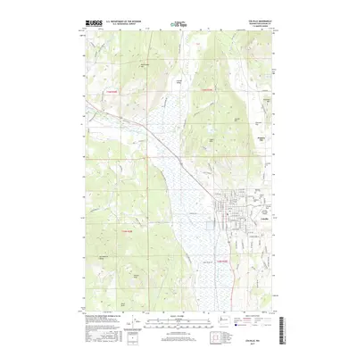
2017 Map of Colville
USGS Topo · Published 2017About this map
Colville serves as the focal point of this Stevens County landscape, situated at the edge of the broad Colville Valley. The city's northern and eastern surroundings are defined by a collection of significant cemeteries, including Mountain View Cem, Calvary Cem, Highland Cem, and Evergreen Cem, which provide a geographic anchor for local genealogy and history. To the north lies the site of Pinkney City, an early regional settlement located near the base of Colville Mtn.
Find a feature on this map
105 named features on this map. Tap any name to fly to it.
Don’t see what you’re looking for? This feature index may not catch every label — zoom into the map to look around manually.
Map Details
Editions of this 2017 Colville Map
This is the sole edition of this map. No revisions or reprints were ever made.
Other maps of this area

1927 · Chewelah
USGS Topo · 1:125,000

1929 · Colville
USGS Topo · 1:125,000

1930 · Chewelah
USGS Topo · 1:125,000

1933 · Colville
USGS Topo · 1:125,000

1936 · Marcus
USGS Topo · 1:96,000

1942 · Marcus
USGS Topo · 1:125,000

1948 · Kettle Falls
USGS Topo · 1:62,500

1950 · Inchelium
USGS Topo · 1:62,500

1951 · Kettle Falls
USGS Topo · 1:62,500

1952 · Gillette Mtn
USGS Topo · 1:24,000