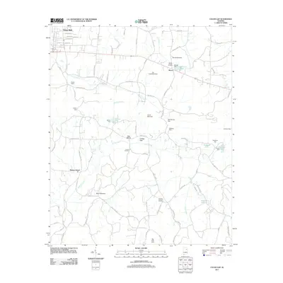
2011 Map of Colvin Gap
USGS Topo · Published 2011About this map
Hokes Bluff anchors the northwestern corner of this landscape, where residential streets like Eastview Ave and Keener Dr meet the Appalachian Hwy. The terrain is defined by a series of prominent ridges, including Dry Creek Mountain, Colvin Mountain, and Wilson Mountain, which are punctuated by strategic crossings at Colvin Gap, Rock Spring Gap, and Colvins Gap. These natural features separate the valley communities of Fords Valley and New Liberty.
Find a feature on this map
96 named features on this map. Tap any name to fly to it.
Don’t see what you’re looking for? This feature index may not catch every label — zoom into the map to look around manually.
Map Details
Editions of this 2011 Colvin Gap Map
This is the sole edition of this map. No revisions or reprints were ever made.
Other maps of this area

1893 · Fort Payne
USGS Topo · 1:125,000

1898 · Fort Payne
USGS Topo · 1:125,000

1900 · Fort Payne
USGS Topo · 1:125,000

1900 · Anniston
USGS Topo · 1:125,000

1947 · Colvin Gap
USGS Topo · 1:24,000

1947 · Jacksonville
USGS Topo · 1:24,000

1947 · Glencoe
USGS Topo · 1:24,000

1947 · Wellington
USGS Topo · 1:24,000

1947 · Jacksonville
USGS Topo · 1:62,500

1953 · Atlanta
USGS Topo · 1:250,000