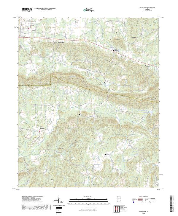
2024 Map of Colvin Gap
USGS Topo · Published 2024About this map
Hokes Bluff and the unincorporated community of Ballplay anchor this northern Alabama landscape, situated where the terrain transitions through the Colvin Gap. The geography is defined by prominent ridges such as Dry Creek Mountain and Wilson Mtn, which frame the agricultural lands of Fords Valley. Waterways including Big Cove Creek and Ohatchee Creek drain the area, feeding into local landmarks like Bonners Lake and Bennetts Lake. For genealogists, the map is a dense record of family and community history, noting numerous burial sites including Youngs Chapel Cem, Landers Cem, and Spraggins Cem. The infrastructure reflects a rural network of roads like Rabbittown Rd and Mount Gilead Rd, connecting the scattered settlements of Webster Chapel and Big Pine Hills across the border between Etowah and Calhoun counties.
Find a feature on this map
111 named features on this map. Tap any name to fly to it.
Don’t see what you’re looking for? This feature index may not catch every label — zoom into the map to look around manually.
Map Details
Editions of this 2024 Colvin Gap Map
This is the sole edition of this map. No revisions or reprints were ever made.
Other maps of this area

1893 · Fort Payne
USGS Topo · 1:125,000

1898 · Fort Payne
USGS Topo · 1:125,000

1900 · Fort Payne
USGS Topo · 1:125,000

1900 · Anniston
USGS Topo · 1:125,000

1947 · Colvin Gap
USGS Topo · 1:24,000

1947 · Jacksonville
USGS Topo · 1:24,000

1947 · Glencoe
USGS Topo · 1:24,000

1947 · Wellington
USGS Topo · 1:24,000

1947 · Jacksonville
USGS Topo · 1:62,500

1953 · Atlanta
USGS Topo · 1:250,000