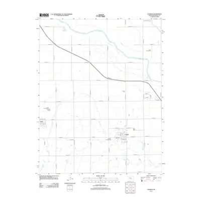
2012 Map of Colwich
USGS Topo · Published 2012About this map
Colwich and Andale anchor this Sedgwick County landscape, illustrating the grid-based development of the Kansas plains. The Arkansas River sweeps across the northern portion of the map, accompanied by the drainage of Big Slough and the winding course of Cowskin Cr. The town of Colwich is particularly detailed, showing the layout of streets like E Chicago Ave and W Breese Ave near the central Post Office. Genealogists and local historians will find the Eldridge Cem and the Sacred Heart Catholic Cem well-positioned for locating ancestral burial sites. The presence of Roberts Field Airport and Eagle Field Airport highlights the region's aviation infrastructure, while utility features such as the Andale Water Tower provide specific local landmarks for those tracing the modern footprint of these prairie communities.
Find a feature on this map
43 named features on this map. Tap any name to fly to it.
Don’t see what you’re looking for? This feature index may not catch every label — zoom into the map to look around manually.
Map Details
Editions of this 2012 Colwich Map
This is the sole edition of this map. No revisions or reprints were ever made.
Other maps of this area

1889 · Cheney
USGS Topo · 1:125,000

1889 · Wichita
USGS Topo · 1:125,000

1891 · Cheney
USGS Topo · 1:125,000

1894 · Wichita
USGS Topo · 1:125,000

1901 · Cheney
USGS Topo · 1:125,000

1941 · Maize
USGS Topo · 1:31,680

1942 · Maize
USGS Topo · 1:31,680

1943 · Wichita West
USGS Topo · 1:31,680

1955 · Wichita
USGS Topo · 1:250,000
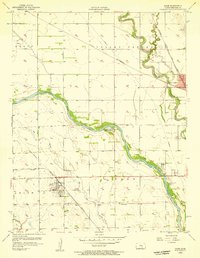
1956 · Maize
USGS Topo · 1:24,000