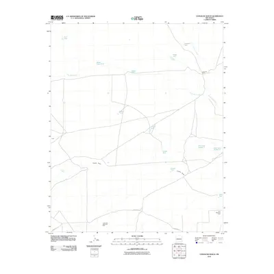
2010 Map of Comanche Ranch
USGS Topo · Published 2010About this map
Comanche Ranch and the small settlement at Drake anchor this arid landscape in Valencia County, characterized by a complex system of water management and seasonal drainages. The area is defined by its network of stock tanks and detention features, such as the Indio Loco Detention Dam and Loco Retention Dam, which highlight the vital importance of water conservation for ranching in the high desert. Notable natural landmarks include Coyote Spring and several prominent arroyos, including Arroyo Comanche and Arroyo Monte Largo. These dry washes feed into larger drainage systems like Coyote Draw, creating a distinct pattern of land use where human activity, represented by County RD-12 and various family or locally named reservoirs like Click Tank Number 7, follows the natural contours of the desert floor.
Find a feature on this map
21 named features on this map. Tap any name to fly to it.
Don’t see what you’re looking for? This feature index may not catch every label — zoom into the map to look around manually.
Map Details
Editions of this 2010 Comanche Ranch Map
This is the sole edition of this map. No revisions or reprints were ever made.
Other maps of this area

1916 · La Joya
USGS Topo · 1:125,000

1917 · Cerro Verde
USGS Topo · 1:125,000

1952 · La Joya NW
USGS Topo · 1:24,000

1952 · Belen SW
USGS Topo · 1:24,000

1952 · Belen NW
USGS Topo · 1:24,000

1954 · Socorro
USGS Topo · 1:250,000

1956 · Mesa Aparejo
USGS Topo · 1:62,500

1958 · Socorro
USGS Topo · 1:250,000

1959 · Riley
USGS Topo · 1:62,500

1962 · Socorro
USGS Topo · 1:250,000