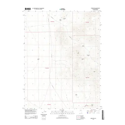
2014 Map of Combs Peak
USGS Topo · Published 2014About this map
Antelope Valley dominates the western portion of this high-altitude landscape in Eureka County, where the terrain shifts abruptly from broad basins to the steep elevations of the Mahogany Hills. This 2014 survey captures a network of canyon systems and peaks that define the regional drainage patterns, including Denio Canyon, Dougherty Canyon, and Combs Canyon situated south of the namesake Combs Peak.
Find a feature on this map
19 named features on this map. Tap any name to fly to it.
Don’t see what you’re looking for? This feature index may not catch every label — zoom into the map to look around manually.
Map Details
Editions of this 2014 Combs Peak Map
This is the sole edition of this map. No revisions or reprints were ever made.
Other maps of this area

1926 · Roberts Mountains
USGS Topo · 1:250,000

1929 · Roberts Mountains
USGS Topo · 1:250,000

1955 · Millett
USGS Topo · 1:250,000

1956 · Bellevue Peak
USGS Topo · 1:62,500

1956 · Bartine Ranch
USGS Topo · 1:62,500

1956 · Antelope Peak
USGS Topo · 1:62,500

1956 · Whistler Mtn
USGS Topo · 1:62,500

1959 · Millett
USGS Topo · 1:250,000

1978 · Summit Mountain
USGS Topo · 1:100,000

1979 · Simpson Park Mtns
USGS Topo · 1:100,000