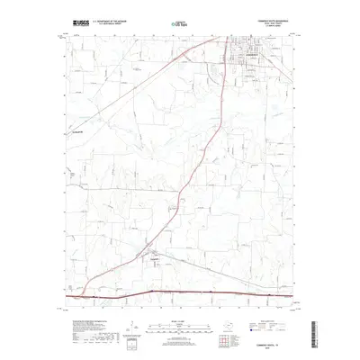
2019 Map of Commerce South
USGS Topo · Published 2019About this map
The S Sulphur River winds through the landscape south of Commerce, defining a territory marked by dispersed rural settlements and numerous local burial grounds. This 2019 survey captures the developed street grid of the southern half of the city, including thoroughfares like Culver St and Aldridge St, while tracking the expansion of recreational infrastructure such as the A&M-Commerce Outdoor Adventure Bike Trail. To the southwest, the community of Neylandville sits near the river's upper reaches, while the town of Campbell occupies the southern edge of the sheet along the Interstate corridor.
Find a feature on this map
44 named features on this map. Tap any name to fly to it.
Don’t see what you’re looking for? This feature index may not catch every label — zoom into the map to look around manually.
Map Details
Editions of this 2019 Commerce South Map
This is the sole edition of this map. No revisions or reprints were ever made.
Other maps of this area

1953 · Texarkana
USGS Topo · 1:250,000

1954 · Sherman
USGS Topo · 1:250,000

1956 · Texarkana
USGS Topo · 1:250,000

1958 · Sherman
USGS Topo · 1:250,000

1962 · Greenville SE
USGS Topo · 1:24,000

1962 · Lone Oak North
USGS Topo · 1:24,000

1962 · Miller Grove
USGS Topo · 1:24,000

1963 · Greenville NE
USGS Topo · 1:24,000

1964 · Cumby
USGS Topo · 1:24,000

1964 · Commerce South
USGS Topo · 1:24,000