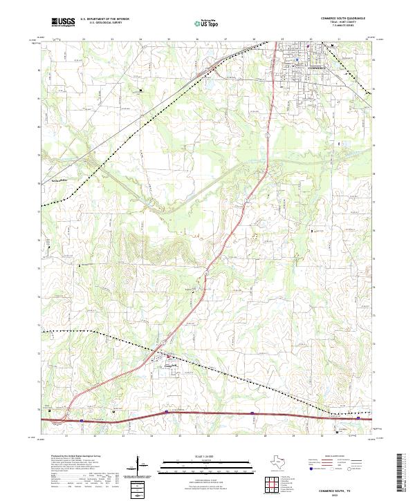
2022 Map of Commerce South
USGS Topo · Published 2022About this map
Commerce dominates the northern reaches of this Hunt County landscape, characterized by the campus of Texas A and M University Commerce and a dense residential grid. To the south, the terrain transitions into a patchwork of rural landholdings and small settlements like Neylandville and Campbell. The geography is defined by the winding course of the S Sulphur River and its numerous tributaries, including Dunbar Cr and Caney Cr, which dictate the placement of local roads and farmsteads. For genealogists, the map is remarkably dense with burial sites, preserving the locations of Rosemound Cem, Humboldt Cem, and the family-linked Stewart Cem. The southern edge of the survey is bounded by the modern corridor of the I-30 Frontage Rd, illustrating the evolution of transport from traditional county routes to interstate connectivity.
Find a feature on this map
104 named features on this map. Tap any name to fly to it.
Don’t see what you’re looking for? This feature index may not catch every label — zoom into the map to look around manually.
Map Details
Editions of this 2022 Commerce South Map
This is the sole edition of this map. No revisions or reprints were ever made.
Other maps of this area

1953 · Texarkana
USGS Topo · 1:250,000

1954 · Sherman
USGS Topo · 1:250,000

1956 · Texarkana
USGS Topo · 1:250,000

1958 · Sherman
USGS Topo · 1:250,000

1962 · Greenville SE
USGS Topo · 1:24,000

1962 · Lone Oak North
USGS Topo · 1:24,000

1962 · Miller Grove
USGS Topo · 1:24,000

1963 · Greenville NE
USGS Topo · 1:24,000

1964 · Cumby
USGS Topo · 1:24,000

1964 · Commerce South
USGS Topo · 1:24,000