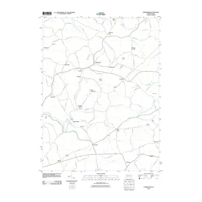
2010 Map of Commodore
USGS Topo · Published 2010About this map
Commodore and its surrounding hamlets in Indiana County are defined by a complex network of waterways feeding into the Two Lick Creek and Little Mahoning Creek systems. This landscape preserves several historical crossroads and naming conventions, such as Purchase Line, which sits at a significant northern juncture. The area is dotted with small, named settlements including Diamondville, Starford, and the distinctively titled Learn Settlement. Genealogists will find several burial sites preserved on the landscape, from Saint Elizabeths Cemetery near Lovejoy to the Stephens Cemetery in the southern reaches. The terrain is marked by prominent high points like Turkey Knob and Prosperity Hill, while the Clymer Fire Tower stands as a sentinel over the western boundary. This map reveals a community structured around rural intersections and the branching runs of the central Pennsylvania hills, where places like Wandin Junction and Seamentown tell of a localized heritage built along the creek valleys.
Find a feature on this map
120 named features on this map. Tap any name to fly to it.
Don’t see what you’re looking for? This feature index may not catch every label — zoom into the map to look around manually.
Map Details
Editions of this 2010 Commodore Map
This is the sole edition of this map. No revisions or reprints were ever made.
Other maps of this area

1902 · Indiana
USGS Topo · 1:62,500

1902 · Barnesboro
USGS Topo · 1:62,500

1904 · Barnesboro
USGS Topo · 1:62,500

1906 · Punxsutawney
USGS Topo · 1:62,500

1909 · Smicksburg
USGS Topo · 1:62,500

1938 · Smicksburg
USGS Topo · 1:62,500

1939 · Smicksburg
USGS Topo · 1:62,500

1939 · Punxsutawney
USGS Topo · 1:62,500

1942 · Punxsutawney
USGS Topo · 1:62,500

1943 · Punxsutawney
USGS Topo · 1:125,000
Featured Places
- Rayne Township, PA
- Pine Township, PA
- Mentcle, Pine Township
- Buck Run, Cherryhill Township
- Manor, Cherryhill Township