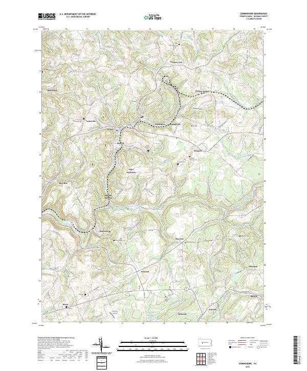
2023 Map of Commodore
USGS Topo · Published 2023About this map
Commodore and Heilwood anchor this Indiana County landscape, where the terrain is carved by the North Branch Two Lick Creek and the South Branch Two Lick Creek. The region is defined by a dense network of early crossroads and rural settlements like Starford, Diamondville, and the notably named Learn Settlement. Genealogists will find a high concentration of burial grounds, including the Saint Elizabeths Cem and Cookport Lutheran Cem, which reflect the area's deep-rooted community history. The northern portion of the map is dominated by the Purchase Line area, while to the south, Laurel Run Lake and the Downes Airport signify the more modern developments in the watershed. The prevalence of old junction points, such as Wandin Junction, highlights the historical significance of the local transport corridors through the undulating hills of western Pennsylvania.
Find a feature on this map
113 named features on this map. Tap any name to fly to it.
Don’t see what you’re looking for? This feature index may not catch every label — zoom into the map to look around manually.
Map Details
Editions of this 2023 Commodore Map
This is the sole edition of this map. No revisions or reprints were ever made.
Other maps of this area

1902 · Indiana
USGS Topo · 1:62,500

1902 · Barnesboro
USGS Topo · 1:62,500

1904 · Barnesboro
USGS Topo · 1:62,500

1906 · Punxsutawney
USGS Topo · 1:62,500

1909 · Smicksburg
USGS Topo · 1:62,500

1938 · Smicksburg
USGS Topo · 1:62,500

1939 · Smicksburg
USGS Topo · 1:62,500

1939 · Punxsutawney
USGS Topo · 1:62,500

1942 · Punxsutawney
USGS Topo · 1:62,500

1943 · Punxsutawney
USGS Topo · 1:125,000
Featured Places
- Rayne Township, PA
- Cherryhill Township, PA
- Pine Township, PA
- East Mahoning Township, PA
- Grant Township, PA