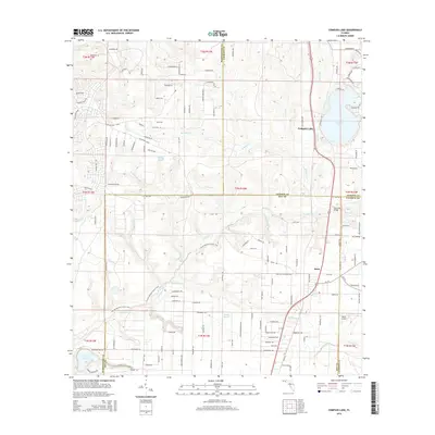
2015 Map of Compass Lake
USGS Topo · Published 2015About this map
Compass Lake serves as the central focal point of this northern Florida landscape, situated at a complex intersection where Washington, Jackson, Bay, and Calhoun counties meet. This 2015 survey reveals a terrain defined by numerous watercourses, including the meandering Econfina Cr and its tributaries such as Sandy Mountain Br and Goshum Br. The settlement of Betts is located in the southeastern quadrant, while the Maran Airport sits further south near the Calhoun County line.
Find a feature on this map
142 named features on this map. Tap any name to fly to it.
Don’t see what you’re looking for? This feature index may not catch every label — zoom into the map to look around manually.
Map Details
Editions of this 2015 Compass Lake Map
This is the sole edition of this map. No revisions or reprints were ever made.
Other maps of this area

1944 · Bennett
USGS Topo · 1:24,000

1945 · Juniper Creek
USGS Topo · 1:31,680

1945 · Bennett
USGS Topo · 1:31,680

1945 · Fountain
USGS Topo · 1:31,680

1950 · Wausau
USGS Topo · 1:24,000

1950 · Gap Lake
USGS Topo · 1:24,000

1951 · Wausau
USGS Topo · 1:24,000

1951 · Gap Pond
USGS Topo · 1:24,000

1952 · Kynesville
USGS Topo · 1:24,000

1952 · Alford SE
USGS Topo · 1:24,000