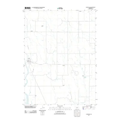
2011 Map of Comstock
USGS Topo · Published 2011About this map
The Middle Loup River winds through this Nebraska landscape, defining a rural corridor near the village of Comstock. This 2011 survey shows a well-established agricultural grid connected by thoroughfares such as Ord Rd, Sargent Rd, and Comstock Rd. Civil infrastructure is prominently recorded, from the local Comstock Post Office to the irrigation works of Canal Number 2 and the Hruby Dam that forms Hruby Reservoir.
Find a feature on this map
16 named features on this map. Tap any name to fly to it.
Don’t see what you’re looking for? This feature index may not catch every label — zoom into the map to look around manually.
Map Details
Editions of this 2011 Comstock Map
This is the sole edition of this map. No revisions or reprints were ever made.
Other maps of this area

1951 · Ansley NE
USGS Topo · 1:24,000

1951 · Arcadia West
USGS Topo · 1:24,000

1951 · Arcadia East
USGS Topo · 1:24,000

1952 · Sargent East
USGS Topo · 1:24,000

1952 · Elyria
USGS Topo · 1:24,000

1952 · Sargent SE
USGS Topo · 1:24,000

1952 · Comstock
USGS Topo · 1:24,000

1952 · Comstock NW
USGS Topo · 1:24,000

1952 · Comstock SE
USGS Topo · 1:24,000

1955 · Broken Bow
USGS Topo · 1:250,000