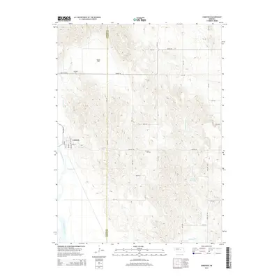
2014 Map of Comstock
USGS Topo · Published 2014About this map
Comstock serves as the primary hub of this landscape, situated near the Middle Loup River along the western edge of the quadrangle. The town's grid is clearly defined by streets such as Main St, Valley St, and Sherman St. This 2014 survey reveals an agricultural area where water management is critical, evidenced by the presence of Canal Number 2 and Hruby Reservoir. The boundary between Custer County and Valley County bisects the northern and central portions of the map, carving through the hills east of the river. Local history is anchored by the presence of Longwood Cem to the northwest and Round Park Cem near the center, while Woods Park provides a notable landmark north of the town center. The network of section roads, including Sargent Rd and Comstock Rd, dictates the movement across this varied Nebraska terrain.
Find a feature on this map
24 named features on this map. Tap any name to fly to it.
Don’t see what you’re looking for? This feature index may not catch every label — zoom into the map to look around manually.
Map Details
Editions of this 2014 Comstock Map
This is the sole edition of this map. No revisions or reprints were ever made.
Other maps of this area

1951 · Ansley NE
USGS Topo · 1:24,000

1951 · Arcadia West
USGS Topo · 1:24,000

1951 · Arcadia East
USGS Topo · 1:24,000

1952 · Sargent East
USGS Topo · 1:24,000

1952 · Elyria
USGS Topo · 1:24,000

1952 · Sargent SE
USGS Topo · 1:24,000

1952 · Comstock
USGS Topo · 1:24,000

1952 · Comstock NW
USGS Topo · 1:24,000

1952 · Comstock SE
USGS Topo · 1:24,000

1955 · Broken Bow
USGS Topo · 1:250,000