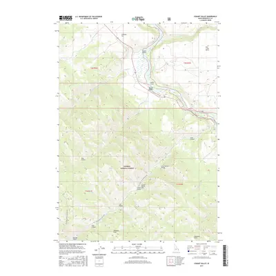
2017 Map of Conant Valley
USGS Topo · Published 2017About this map
Swan Valley and the smaller settlement of Conant Valley occupy a critical bend in the Snake River where the waterway winds through the northern reaches of the Caribou National Forest. The landscape is defined by its sharp vertical transitions, ranging from the low-lying Staffel Island in the riverbed to the elevated heights of Mahogany Ridge and Deadhorse Ridge. Local topography is deeply etched by a network of drainages such as Pritchard Cr, Fall Cr, and Indian Camp Cr, which have carved numerous canyons and hollows like Echo Canyon and Indian Camp Hollow.
Find a feature on this map
35 named features on this map. Tap any name to fly to it.
Don’t see what you’re looking for? This feature index may not catch every label — zoom into the map to look around manually.
Map Details
Editions of this 2017 Conant Valley Map
This is the sole edition of this map. No revisions or reprints were ever made.
Other maps of this area

1924 · Hell Creek
USGS Topo · 1:62,500

1926 · Hell Creek
USGS Topo · 1:62,500

1932 · Irwin
USGS Topo · 1:96,000

1935 · Irwin
USGS Topo · 1:125,000

1943 · Garns Mtn
USGS Topo · 1:62,500

1946 · Garns Mtn
USGS Topo · 1:62,500

1951 · Heise SE
USGS Topo · 1:24,000

1955 · Driggs
USGS Topo · 1:250,000

1958 · Driggs
USGS Topo · 1:250,000

1962 · Driggs
USGS Topo · 1:250,000