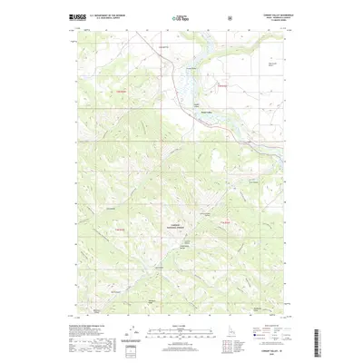
2020 Map of Conant Valley
USGS Topo · Published 2020About this map
The Snake River cuts through the northern reaches of this Idaho landscape, creating a fertile corridor that includes Staffel Island and the broad Conant Valley. This 2020 survey illustrates the meeting of riparian lowlands and the elevated terrain of the Caribou National Forest. Local landmarks like Mineral Springs and Fall Creek Falls indicate the diverse hydrological features of the region, while naming conventions for features such as Antelope Flat and Pine Creek Bench reflect the historical agricultural and grazing use of the river terraces.
Find a feature on this map
43 named features on this map. Tap any name to fly to it.
Don’t see what you’re looking for? This feature index may not catch every label — zoom into the map to look around manually.
Map Details
Editions of this 2020 Conant Valley Map
This is the sole edition of this map. No revisions or reprints were ever made.
Other maps of this area

1924 · Hell Creek
USGS Topo · 1:62,500

1926 · Hell Creek
USGS Topo · 1:62,500

1932 · Irwin
USGS Topo · 1:96,000

1935 · Irwin
USGS Topo · 1:125,000

1943 · Garns Mtn
USGS Topo · 1:62,500

1946 · Garns Mtn
USGS Topo · 1:62,500

1951 · Heise SE
USGS Topo · 1:24,000

1955 · Driggs
USGS Topo · 1:250,000

1958 · Driggs
USGS Topo · 1:250,000

1962 · Driggs
USGS Topo · 1:250,000