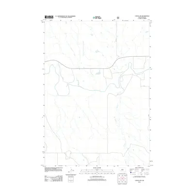
2012 Map of Conata NE
USGS Topo · Published 2012About this map
The White River winds through the central portion of this Jackson County landscape, carving a complex riparian corridor through the high plains of South Dakota. The waterway's meandering path is the primary topographical feature, joined by the seasonal drainage of Potato Cr which flows from the southern reaches. This 2012 survey illustrates a sparse ranching and rural infrastructure typical of the region near Interior, where transportation is defined by a modest grid of local routes like 201st Ave and BIA Rd. The map provides a detailed view of the drainage patterns and terrain elevations, showing how the local road network, including Cs 36, conforms to the natural breaks and coulees created by the river system.
Find a feature on this map
5 named features on this map. Tap any name to fly to it.
Don’t see what you’re looking for? This feature index may not catch every label — zoom into the map to look around manually.
Map Details
Editions of this 2012 Conata NE Map
This is the sole edition of this map. No revisions or reprints were ever made.
Other maps of this area

1950 · Conata
USGS Topo · 1:24,000

1950 · Interior
USGS Topo · 1:24,000

1950 · Conata SW
USGS Topo · 1:24,000

1950 · Potato Creek
USGS Topo · 1:24,000

1952 · Conata NE
USGS Topo · 1:24,000

1952 · Conata SE
USGS Topo · 1:24,000

1952 · Conata
USGS Topo · 1:24,000

1955 · Hot Springs
USGS Topo · 1:250,000

1955 · Martin
USGS Topo · 1:250,000

1958 · Martin
USGS Topo · 1:250,000