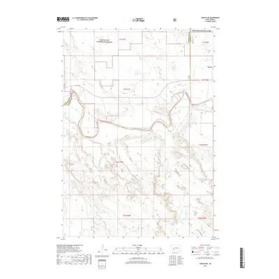
2017 Map of Conata NE
USGS Topo · Published 2017About this map
Badlands National Park and the Buffalo Gap National Grassland dominate this section of western South Dakota, where the intricate erosional features of the high plains meet the valley of the White River. The settlement of Interior is positioned near the northeastern edge of the sheet, serving as a gateway to the complex terrain. The map captures a landscape defined by the sharp transition between the dissected plateaus and the winding course of the river, which is joined from the south by Potato Cr. Transportation through this remote topography is facilitated by SN 44 and various routes like Bia Rd, providing access to the sprawling public lands that characterize the region. This survey illustrates the relationship between the dramatic Badlands formations and the ranching and conservation lands that surround them.
Find a feature on this map
16 named features on this map. Tap any name to fly to it.
Don’t see what you’re looking for? This feature index may not catch every label — zoom into the map to look around manually.
Map Details
Editions of this 2017 Conata NE Map
This is the sole edition of this map. No revisions or reprints were ever made.
Other maps of this area

1950 · Conata
USGS Topo · 1:24,000

1950 · Interior
USGS Topo · 1:24,000

1950 · Conata SW
USGS Topo · 1:24,000

1950 · Potato Creek
USGS Topo · 1:24,000

1952 · Conata NE
USGS Topo · 1:24,000

1952 · Conata SE
USGS Topo · 1:24,000

1952 · Conata
USGS Topo · 1:24,000

1955 · Hot Springs
USGS Topo · 1:250,000

1955 · Martin
USGS Topo · 1:250,000

1958 · Martin
USGS Topo · 1:250,000