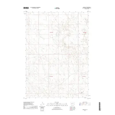
2017 Map of Conata SE
USGS Topo · Published 2017About this map
Native American Cem sits in the southeastern reaches of this Jackson County landscape, marking a significant cultural and genealogical point of interest within the Pine Ridge region. The terrain is defined by a dendritic drainage network where Potato Cr, Little Dog Spring Cr, and Indian Cr carve through the high plains. These seasonal watercourses dictate the local geography, with Bull Cr and Redwater Cr further fragmenting the open rangeland. Transportation is limited to a sparse grid of Bureau of Indian Affairs routes, including Bia Hwy 2 and Bia Rd 19, which provide the primary access through this sparsely populated territory. The map illustrates a modern continuation of land use patterns in the western Dakotas, where vast townships like t42n r40w remain largely undeveloped and dominated by natural topography.
Find a feature on this map
13 named features on this map. Tap any name to fly to it.
Don’t see what you’re looking for? This feature index may not catch every label — zoom into the map to look around manually.
Map Details
Editions of this 2017 Conata SE Map
This is the sole edition of this map. No revisions or reprints were ever made.
Other maps of this area

1950 · Conata
USGS Topo · 1:24,000

1950 · Interior
USGS Topo · 1:24,000

1950 · Conata SW
USGS Topo · 1:24,000

1950 · Potato Creek
USGS Topo · 1:24,000

1952 · Conata NE
USGS Topo · 1:24,000

1952 · Conata SE
USGS Topo · 1:24,000

1952 · Conata
USGS Topo · 1:24,000

1955 · Hot Springs
USGS Topo · 1:250,000

1955 · Martin
USGS Topo · 1:250,000

1958 · Martin
USGS Topo · 1:250,000