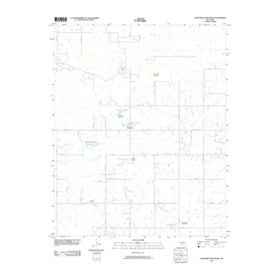
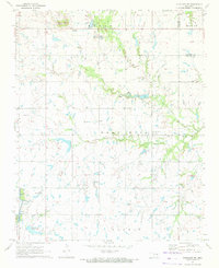
2010 Map of Concharty Mountain
USGS Topo · Published 2010About this map
Concharty Mountain and the Negro Hills rise above the complex network of creeks and small reservoirs that define this Oklahoma landscape south of Bixby. The terrain is deeply carved by waterways including Concharty Creek, Ash Creek, and Rock Creek, which flow through a countryside organized by a strict section-line road grid. Names like Ferguson Rd, Grimes Rd, and Garfield Rd reflect the agricultural and residential development of the region during the early 21st century.
Find a feature on this map
63 named features on this map. Tap any name to fly to it.
Don’t see what you’re looking for? This feature index may not catch every label — zoom into the map to look around manually.
Map Details
Editions of this 2010 Concharty Mountain Map
This is the sole edition of this map. No revisions or reprints were ever made.
Other maps of this area

1896 · Okmulgee
USGS Topo · 1:125,000

1900 · Okmulgee
USGS Topo · 1:125,000

1946 · Fort Smith
USGS Topo · 1:250,000

1957 · Leonard
USGS Topo · 1:24,000
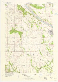
1957 · Bixby
USGS Topo · 1:24,000
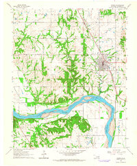
1963 · Coweta
USGS Topo · 1:24,000

1965 · Fort Smith
USGS Topo · 1:250,000

1967 · Fort Smith
USGS Topo · 1:250,000
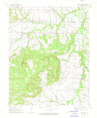
1971 · Spanish Peak
USGS Topo · 1:24,000
1971 · Okmulgee NE
USGS Topo · 1:24,000