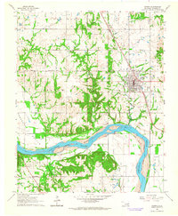
1963 Map of Coweta
USGS Topo · Published 1964About this map
The Arkansas River carves a sweeping path through the southern half of this landscape, separating the broad agricultural flats of Kadashan Bottom from the elevations of Stone Bluff and the Conjada Mountains. In the early 1960s, the area's economy is clearly defined by natural resource extraction, with numerous Oil Wells and Gas Wells dotting the hills and river plains. The city of Coweta serves as the regional hub, situated at the junction of the Missouri-Kansas-Texas railroad line.
Find a feature on this map
34 named features on this map. Tap any name to fly to it.
Don’t see what you’re looking for? This feature index may not catch every label — zoom into the map to look around manually.
Map Details
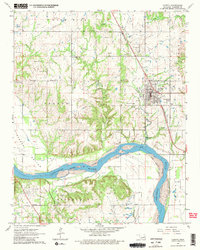
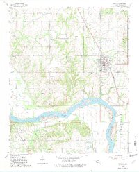
Editions of this 1963 Coweta Map
3 editions found
Other maps of this area

1896 · Okmulgee
USGS Topo · 1:125,000

1900 · Okmulgee
USGS Topo · 1:125,000

1901 · Claremore
USGS Topo · 1:125,000

1914 · Claremore
USGS Topo · 1:125,000

1916 · Claremore
USGS Topo · 1:125,000

1946 · Fort Smith
USGS Topo · 1:250,000

1954 · Tulsa
USGS Topo · 1:250,000

1955 · Broken Arrow
USGS Topo · 1:24,000

1957 · Leonard
USGS Topo · 1:24,000

1958 · Tulsa
USGS Topo · 1:250,000