
1957 Map of Leonard
USGS Topo · Published 1958About this map
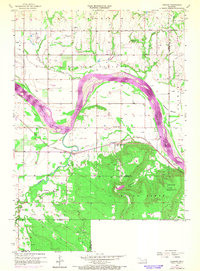
The Arkansas River carves a sweeping arc through this landscape, separating the lowlands of Kadashan Bottom and Willow Springs from the steep elevations of the Conjada Mountains. The settlement of Leonard serves as a local hub near the bend in the river, situated along the tracks of the Midland Valley railroad. This 1957 field-checked survey reveals an economy deeply tied to natural resources, with an expansive Oil and Gas Field and numerous individual oil wells dotting the terrain between the river and the southern hills. Rural social infrastructure is well-defined, including the Leonard Sch and Vernon Sch, alongside community landmarks like the Church of God and Simmons Cem. The complex jurisdictional boundaries where Tulsa, Wagoner, and Okmulgee counties meet are clearly delineated across the southern portion of the map near Stone Bluff.
Find a feature on this map
19 named features on this map. Tap any name to fly to it.
Don’t see what you’re looking for? This feature index may not catch every label — zoom into the map to look around manually.
Map Details
Editions of this 1957 Leonard Map
4 editions found
Other maps of this area

1896 · Okmulgee
USGS Topo · 1:125,000

1900 · Okmulgee
USGS Topo · 1:125,000

1901 · Claremore
USGS Topo · 1:125,000

1914 · Claremore
USGS Topo · 1:125,000

1916 · Claremore
USGS Topo · 1:125,000

1946 · Fort Smith
USGS Topo · 1:250,000

1952 · Jenks
USGS Topo · 1:24,000

1954 · Tulsa
USGS Topo · 1:250,000

1955 · Broken Arrow
USGS Topo · 1:24,000
1957 · Bixby
USGS Topo · 1:24,000