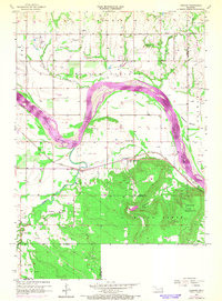
1957 Map of Leonard
USGS Topo · Published 1968About this map
The Arkansas River dominates this landscape as it meanders through the boundary lands of Tulsa, Wagoner, and Okmulgee counties. The settlement of Leonard serves as a focal point near the river's bend, supported by the Leonard Sch and nearby agricultural and industrial activity. To the north, the community of Lone Star and the Church of God represent the rural social fabric of the late 1950s. The terrain transitions from the low-lying Kadashan Bottom and Willow Springs into the more elevated Conjada Mountains and Stone Bluff in the south. Transportation and industry are well-defined by the Texas and Pacific railroad line and a landscape dotted with oil and gas wells, reflecting the region's mid-century energy economy. Revisions from 1967 highlight shifts in the river's path and local infrastructure, such as the Strip Mine and Gravel Pit operations.
Find a feature on this map
23 named features on this map. Tap any name to fly to it.
Don’t see what you’re looking for? This feature index may not catch every label — zoom into the map to look around manually.
Map Details
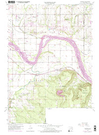
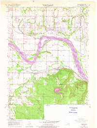
Editions of this 1957 Leonard Map
4 editions found
Other maps of this area

1896 · Okmulgee
USGS Topo · 1:125,000

1900 · Okmulgee
USGS Topo · 1:125,000

1901 · Claremore
USGS Topo · 1:125,000

1914 · Claremore
USGS Topo · 1:125,000

1916 · Claremore
USGS Topo · 1:125,000

1946 · Fort Smith
USGS Topo · 1:250,000

1952 · Jenks
USGS Topo · 1:24,000

1954 · Tulsa
USGS Topo · 1:250,000

1955 · Broken Arrow
USGS Topo · 1:24,000

1957 · Leonard
USGS Topo · 1:24,000