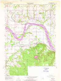
1957 Map of Leonard
USGS Topo · Published 1975About this map
Arkansas River oxbows and the dramatic rise of the Conjada Mountains define this mid-century landscape south of Tulsa. The transition from the fertile Kadashan Bottom to the elevated Stone Bluff area reveals a region shaped by both topography and extraction, with numerous oil wells and a Strip Mine dotting the map. The settlement of Leonard serves as a local hub, connected to the wider territory by the Texas and Pacific railroad line.
Find a feature on this map
24 named features on this map. Tap any name to fly to it.
Don’t see what you’re looking for? This feature index may not catch every label — zoom into the map to look around manually.
Map Details
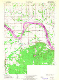
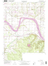
Editions of this 1957 Leonard Map
4 editions found
Other maps of this area

1896 · Okmulgee
USGS Topo · 1:125,000

1900 · Okmulgee
USGS Topo · 1:125,000

1901 · Claremore
USGS Topo · 1:125,000

1914 · Claremore
USGS Topo · 1:125,000

1916 · Claremore
USGS Topo · 1:125,000

1946 · Fort Smith
USGS Topo · 1:250,000

1952 · Jenks
USGS Topo · 1:24,000

1954 · Tulsa
USGS Topo · 1:250,000

1955 · Broken Arrow
USGS Topo · 1:24,000

1957 · Leonard
USGS Topo · 1:24,000