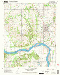
1963 Map of Coweta
USGS Topo · Published 1982About this map
Coweta serves as the primary hub of this Wagoner County landscape in the early 1960s, its street grid bounded by the Missouri-Kansas-Texas railroad. The region is heavily defined by its natural topography and resource extraction, with the winding Arkansas River cutting through Kadashan Bottom and separating the northern settlements from the Concharty Mountains and the village of Stonebluff. Extensive oil and gas development is evident throughout the terrain, marked by numerous oil wells and drill holes scattered across the Shahan and Lone Star areas.
Find a feature on this map
41 named features on this map. Tap any name to fly to it.
Don’t see what you’re looking for? This feature index may not catch every label — zoom into the map to look around manually.
Map Details
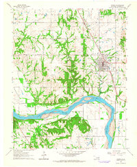
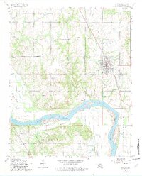
Editions of this 1963 Coweta Map
3 editions found
Other maps of this area

1896 · Okmulgee
USGS Topo · 1:125,000

1900 · Okmulgee
USGS Topo · 1:125,000

1901 · Claremore
USGS Topo · 1:125,000

1914 · Claremore
USGS Topo · 1:125,000

1916 · Claremore
USGS Topo · 1:125,000

1946 · Fort Smith
USGS Topo · 1:250,000

1954 · Tulsa
USGS Topo · 1:250,000

1955 · Broken Arrow
USGS Topo · 1:24,000

1957 · Leonard
USGS Topo · 1:24,000

1958 · Tulsa
USGS Topo · 1:250,000