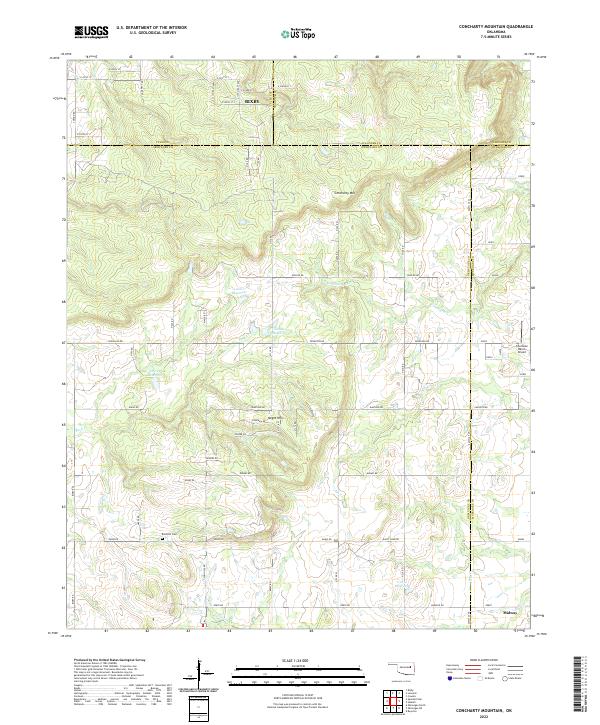
2022 Map of Concharty Mountain
USGS Topo · Published 2022About this map
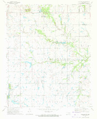
Concharty Mtn and the Negro Hills dominate the topography of this section of the Oklahoma landscape where Tulsa, Okmulgee, Wagoner, and Muskogee counties meet. The southern outskirts of Bixby are visible in the north, while the small settlement of Midway sits at the southeastern corner. This modern topographic record shows a countryside shaped by agriculture and private aviation, evidenced by the Cherokee Ranch Airport and a series of numbered reservoirs including 111020 Reservoir.
Find a feature on this map
73 named features on this map. Tap any name to fly to it.
Don’t see what you’re looking for? This feature index may not catch every label — zoom into the map to look around manually.
Map Details
Editions of this 2022 Concharty Mountain Map
This is the sole edition of this map. No revisions or reprints were ever made.
Other maps of this area

1896 · Okmulgee
USGS Topo · 1:125,000

1900 · Okmulgee
USGS Topo · 1:125,000

1946 · Fort Smith
USGS Topo · 1:250,000

1957 · Leonard
USGS Topo · 1:24,000
1957 · Bixby
USGS Topo · 1:24,000
1963 · Coweta
USGS Topo · 1:24,000

1965 · Fort Smith
USGS Topo · 1:250,000

1967 · Fort Smith
USGS Topo · 1:250,000
1971 · Spanish Peak
USGS Topo · 1:24,000
1971 · Okmulgee NE
USGS Topo · 1:24,000