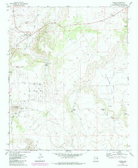
1971 Map of Concho
USGS Topo · Published 1984About this map
Concho serves as the focal point of this high-desert landscape in Apache County, situated near the headwaters of Concho Creek. The map documents a community transitioning toward modern residential development, evidenced by the planned street grid of Concho Creek Drive, Ranch Drive, and Center Drive south of Concho Lake. This era of growth is juxtaposed with the area's agricultural and resource roots, seen in the Cemeteries north of town and the various industrial excavations like the Borrow Pit and Gravel Pit. The terrain is defined by natural water sources and volcanic features, including Ortega Spring and Concho Knoll. The presence of a Flume and scattered Water Tank labels indicates the vital importance of water management in this arid Arizona environment, while Swinburne Flat stretches across the eastern portion of the quadrangle.
Find a feature on this map
36 named features on this map. Tap any name to fly to it.
Don’t see what you’re looking for? This feature index may not catch every label — zoom into the map to look around manually.
Map Details
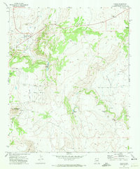
Editions of this 1971 Concho Map
2 editions found
Other maps of this area

1886 · St Johns
USGS Topo · 1:250,000

1892 · St Johns
USGS Topo · 1:250,000

1954 · Saint Johns
USGS Topo · 1:250,000

1955 · Adamana 4 SW
USGS Topo · 1:24,000

1955 · Adamana 4 SE
USGS Topo · 1:24,000

1955 · Wolford Springs 3 SW
USGS Topo · 1:24,000

1955 · Hunt
USGS Topo · 1:62,500

1957 · Saint Johns
USGS Topo · 1:250,000

1958 · Saint Johns
USGS Topo · 1:250,000

1962 · Saint Johns
USGS Topo · 1:250,000