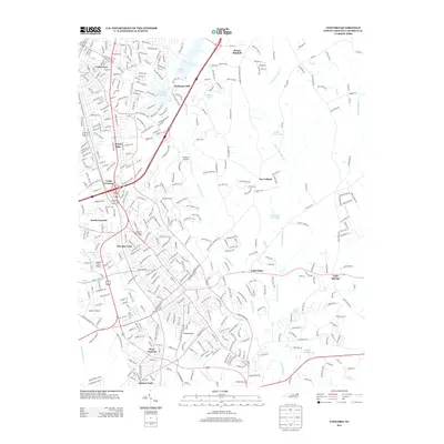
2013 Map of Concord
USGS Topo · Published 2013About this map
Heilmans Mill and the surrounding Cabarrus County landscape reflect a complex network of mid-sized aviation and suburban growth north of Charlotte. Small airfields such as Spencer Airport, Propst Airport, Chalfant Airport, and Buffalo Creek Airport are scattered throughout the region, suggesting a high density of private aviation activity during this era. The community of North Concord and the burgeoning residential clusters of Royal Oaks and West Concord indicate a steady transition from rural mill-town origins toward a more modern, interconnected layout.
Find a feature on this map
38 named features on this map. Tap any name to fly to it.
Don’t see what you’re looking for? This feature index may not catch every label — zoom into the map to look around manually.
Map Details
Editions of this 2013 Concord Map
This is the sole edition of this map. No revisions or reprints were ever made.
Other maps of this area

1893 · Statesville
USGS Topo · 1:125,000

1941 · Charlotte
USGS Topo · 1:125,000

1942 · Charlotte
USGS Topo · 1:125,000

1949 · Kannapolis
USGS Topo · 1:24,000

1949 · Harrisburg
USGS Topo · 1:24,000

1949 · Concord SE
USGS Topo · 1:24,000

1950 · Concord
USGS Topo · 1:24,000

1953 · Charlotte
USGS Topo · 1:250,000

1954 · Charlotte
USGS Topo · 1:250,000

1957 · Mount Pleasant
USGS Topo · 1:62,500