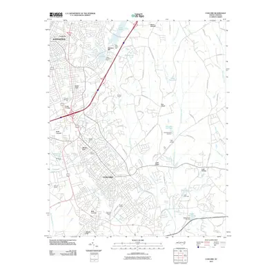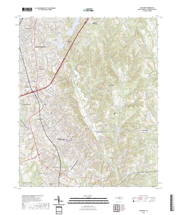
2022 Map of Concord
USGS Topo · Published 2022About this map
The Cabarrus County Courthouse stands at the center of this dense urban and suburban landscape, anchoring the city of Concord as it transitions into Kannapolis to the north. This modern topography reveals a complex network of residential developments and green spaces, including Jackson Park and the expansive Carolina Memorial Park. The area is notably aviation-heavy for its size, featuring several specialized landing strips such as Chalfant Airport, Buffalo Creek Airport, and Propst Airport interspersed among the growing subdivisions.
Find a feature on this map
47 named features on this map. Tap any name to fly to it.
Don’t see what you’re looking for? This feature index may not catch every label — zoom into the map to look around manually.
Map Details
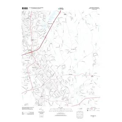
Editions of this 2022 Concord Map
This is the sole edition of this map. No revisions or reprints were ever made.
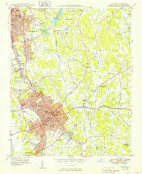
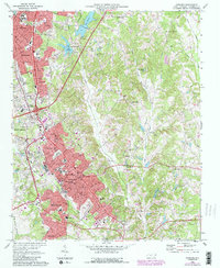
Historical Maps of Concord Through Time
7 maps found