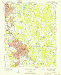
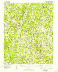
1950 Map of Concord
USGS Topo · Published 1950About this map
Concord and southern Kannapolis define the developed corridor of this mid-century survey, revealing a landscape of rapid post-war growth in the Carolina Piedmont. The residential expansion is evident in neighborhoods like Wil-mar Park and Royal Oaks, while older industrial and educational foundations remain prominent. The presence of Barber-Scotia College near the city center and numerous schools such as Cannon High Sch and Logan Sch point to established social hubs.
Find a feature on this map
69 named features on this map. Tap any name to fly to it.
Don’t see what you’re looking for? This feature index may not catch every label — zoom into the map to look around manually.
Map Details
Editions of this 1950 Concord Map
This is the sole edition of this map. No revisions or reprints were ever made.
Other maps of this area

1893 · Statesville
USGS Topo · 1:125,000

1941 · Charlotte
USGS Topo · 1:125,000

1942 · Charlotte
USGS Topo · 1:125,000
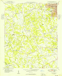
1949 · Kannapolis
USGS Topo · 1:24,000
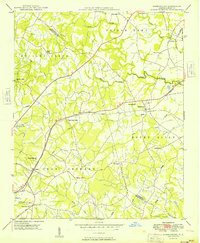
1949 · Harrisburg
USGS Topo · 1:24,000
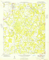
1949 · Concord SE
USGS Topo · 1:24,000

1953 · Charlotte
USGS Topo · 1:250,000

1954 · Charlotte
USGS Topo · 1:250,000
1957 · Mount Pleasant
USGS Topo · 1:62,500

1960 · Charlotte
USGS Topo · 1:250,000