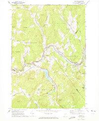
1967 Map of Concord
USGS Topo · Published 1973About this map
Maine Central tracks follow the winding course of the Moose River in this part of Caledonia County, connecting the villages of St Johnsbury and Concord. This landscape is defined by its deep valleys and numerous family-named peaks, including Saddleback Mtn and Mt Pisgah. The map reveals a rural settlement pattern where life was organized around small water bodies like Stiles Pond and Duck Pond.
Find a feature on this map
53 named features on this map. Tap any name to fly to it.
Don’t see what you’re looking for? This feature index may not catch every label — zoom into the map to look around manually.
Map Details
Editions of this 1967 Concord Map
2 editions found
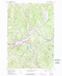
Other maps of this area

1931 · Littleton
USGS Topo · 1:62,500

1932 · Littleton
USGS Topo · 1:48,000

1935 · Littleton
USGS Topo · 1:62,500

1935 · Lyndonville
USGS Topo · 1:48,000

1938 · St. Johnsbury
USGS Topo · 1:48,000

1939 · Lyndonville
USGS Topo · 1:62,500

1943 · St. Johnsbury
USGS Topo · 1:62,500
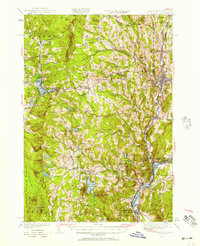
1949 · St. Johnsbury
USGS Topo · 1:62,500

1950 · Lake Champlain
USGS Topo · 1:250,000

1950 · Lewiston
USGS Topo · 1:250,000