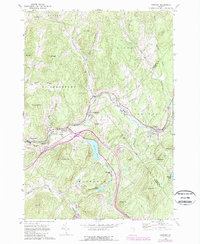
1967 Map of Concord
USGS Topo · Published 1989About this map
The Moose River carves a winding path through the Northeast Kingdom on this 1960s survey, updated with late-1980s infrastructure revisions. The settlement of East St Johnsbury sits at a critical junction where Stiles Brook meets the river, while the town of Concord anchors the eastern edge of the quadrangle. The terrain is defined by prominent peaks like Saddleback Mtn and Fairbanks Mtn, which overlook a network of valleys carved by Roberts Brook and Stockwell Brook.
Find a feature on this map
52 named features on this map. Tap any name to fly to it.
Don’t see what you’re looking for? This feature index may not catch every label — zoom into the map to look around manually.
Map Details
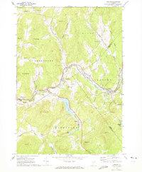
Editions of this 1967 Concord Map
2 editions found
Other maps of this area

1931 · Littleton
USGS Topo · 1:62,500

1932 · Littleton
USGS Topo · 1:48,000

1935 · Littleton
USGS Topo · 1:62,500

1935 · Lyndonville
USGS Topo · 1:48,000

1938 · St. Johnsbury
USGS Topo · 1:48,000

1939 · Lyndonville
USGS Topo · 1:62,500

1943 · St. Johnsbury
USGS Topo · 1:62,500
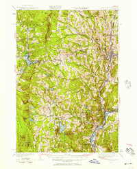
1949 · St. Johnsbury
USGS Topo · 1:62,500

1950 · Lake Champlain
USGS Topo · 1:250,000

1950 · Lewiston
USGS Topo · 1:250,000