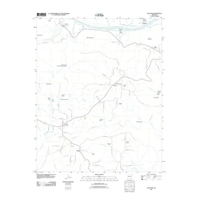
2011 Map of Concord
USGS Topo · Published 2011About this map
The White River defines the northern edge of this landscape, flowing past Foushee Island and the riverside settlement of Melrose. To the south, the community of Concord serves as a central hub, where Sunset Drive and Sheridan Street mark the local street grid. The area is characterized by a high concentration of cemeteries, including Bellmore Cemetery, Alexander Cemetery, and Mount Zion Cemetery, which offer significant touchpoints for local family history.
Find a feature on this map
93 named features on this map. Tap any name to fly to it.
Don’t see what you’re looking for? This feature index may not catch every label — zoom into the map to look around manually.
Map Details
Editions of this 2011 Concord Map
This is the sole edition of this map. No revisions or reprints were ever made.
Other maps of this area

1890 · Batesville
USGS Topo · 1:125,000

1891 · Batesville
USGS Topo · 1:125,000

1942 · Bethesda
USGS Topo · 1:24,000

1942 · Jamestown
USGS Topo · 1:31,680

1942 · Almond
USGS Topo · 1:31,680

1942 · Batesville
USGS Topo · 1:31,680

1943 · Batesville
USGS Topo · 1:24,000

1953 · Memphis
USGS Topo · 1:250,000

1956 · Memphis
USGS Topo · 1:250,000

1965 · Pleasant Plains
USGS Topo · 1:24,000