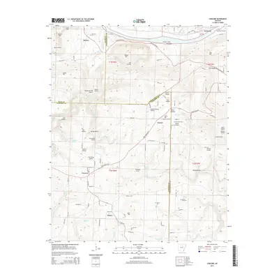
2014 Map of Concord
USGS Topo · Published 2014About this map
Concord and Banner anchor the southern plains of this region, where the terrain begins its ascent into the Ozark foothills. The landscape is defined by the sharp transition from the White River valley in the north to the dissected ridges and hollows that dominate the center of the sheet. Notable landmarks like Chimney Rocks and Bailey Falls highlight the geological character of the area, while the Almond Lookout Tower stands as a sentinel over the surrounding timberlands.
Find a feature on this map
102 named features on this map. Tap any name to fly to it.
Don’t see what you’re looking for? This feature index may not catch every label — zoom into the map to look around manually.
Map Details
Editions of this 2014 Concord Map
This is the sole edition of this map. No revisions or reprints were ever made.
Other maps of this area

1890 · Batesville
USGS Topo · 1:125,000

1891 · Batesville
USGS Topo · 1:125,000

1942 · Bethesda
USGS Topo · 1:24,000

1942 · Jamestown
USGS Topo · 1:31,680

1942 · Almond
USGS Topo · 1:31,680

1942 · Batesville
USGS Topo · 1:31,680

1943 · Batesville
USGS Topo · 1:24,000

1953 · Memphis
USGS Topo · 1:250,000

1956 · Memphis
USGS Topo · 1:250,000

1965 · Pleasant Plains
USGS Topo · 1:24,000