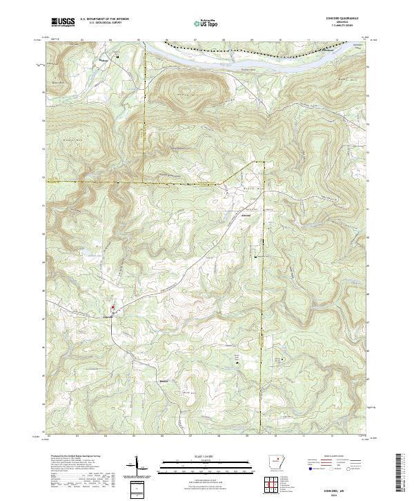
2024 Map of Concord
USGS Topo · Published 2024About this map
The White River carves the northern boundary of this landscape, defining a corridor of bottomlands where Earnheart Island and Foushee Island sit amidst shifting currents. Moving south from the river, the terrain rises into the foothills of the Ozarks, characterized by a series of prominent peaks and deep hollows such as Round Mtn, Brock Mtn, and the curiously named Dump Mtn. The settlement of Concord serves as a local hub, situated at the intersection of several regional routes, including Heber Springs Rd N. Smaller rural communities like Melrose, Almond, and Banner are scattered across the quadrangle, often anchored by local heritage sites such as Bellmore Cem and Mount Zion Cem. The intricate drainage network of Wolf Bayou and Little Bayou highlights the complex hydrology of the Cleburne, Independence, and Stone County borders.
Find a feature on this map
106 named features on this map. Tap any name to fly to it.
Don’t see what you’re looking for? This feature index may not catch every label — zoom into the map to look around manually.
Map Details
Editions of this 2024 Concord Map
This is the sole edition of this map. No revisions or reprints were ever made.
Other maps of this area

1890 · Batesville
USGS Topo · 1:125,000

1891 · Batesville
USGS Topo · 1:125,000

1942 · Bethesda
USGS Topo · 1:24,000

1942 · Jamestown
USGS Topo · 1:31,680

1942 · Almond
USGS Topo · 1:31,680

1942 · Batesville
USGS Topo · 1:31,680

1943 · Batesville
USGS Topo · 1:24,000

1953 · Memphis
USGS Topo · 1:250,000

1956 · Memphis
USGS Topo · 1:250,000

1965 · Pleasant Plains
USGS Topo · 1:24,000