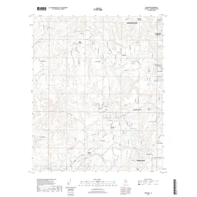
2018 Map of Concord
USGS Topo · Published 2018About this map
Virginia Mines Cem and Valley Creek Cem sit at the heart of this Jefferson County landscape, serving as quiet reminders of the industrial communities that once centered on local extraction. The terrain is marked by the heavy footprint of the mining industry, evidenced by features such as Concord Mine Lake and the Blue Cr Mine Number 3 Impoundment. Large-scale residential development from Hueytown and Birmingham reaches into this area, yet the map maintains a distinct focus on its topographical roots with landmarks like West Rock Mtn and Red Ridge. Valley Creek and its various tributaries, including Lick Cr and Blue Cr, provide the primary drainage for this transition zone between established city limits and the active resource-extraction lands of the Alabama coalfields.
Find a feature on this map
150 named features on this map. Tap any name to fly to it.
Don’t see what you’re looking for? This feature index may not catch every label — zoom into the map to look around manually.
Map Details
Editions of this 2018 Concord Map
This is the sole edition of this map. No revisions or reprints were ever made.
Other maps of this area

1889 · Birmingham
USGS Topo · 1:125,000

1890 · Bessemer
USGS Topo · 1:125,000

1892 · Birmingham
USGS Topo · 1:125,000

1892 · Bessemer
USGS Topo · 1:125,000

1893 · Jasper
USGS Topo · 1:125,000

1895 · Birmingham
USGS Topo · 1:125,000

1899 · Brookwood
USGS Topo · 1:125,000

1904 · Birmingham Coal District
USGS Topo · 1:62,500

1905 · Bessemer Iron District
USGS Topo · 1:62,500

1906 · Birmingham Special
USGS Topo · 1:62,500