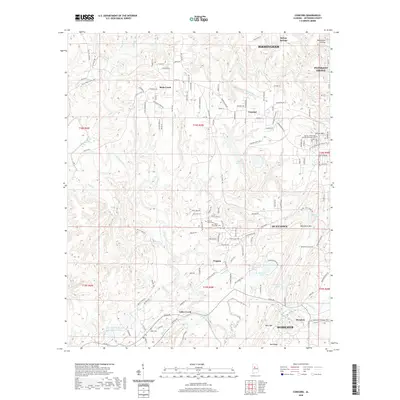
2020 Map of Concord
USGS Topo · Published 2020About this map
The industrial legacy of Jefferson County is evident across this modern landscape, where the settlements of Concord and Virginia are marked by significant landmarks. Mining history is preserved in features like Concord Mine Lake and the Blue Cr Mine Number 3 Impoundment, which reflect the area's transition from active resource extraction to modern water management. The terrain is defined by the sharp ridges of West Rock Mtn and Rock Mtn, while the valleys are drained by Valley Creek and Rock Cr. Genealogy interests are well-served by several well-documented burial sites, including the Martin Luther King Junior Memorial Cem near Clarke Mtn, along with the Virginia Mines Cem and Valley Creek Cem. These locations, alongside the smaller hamlet of McAdory, provide a clear picture of how community centers and industrial sites have integrated over decades of development west of Birmingham.
Find a feature on this map
146 named features on this map. Tap any name to fly to it.
Don’t see what you’re looking for? This feature index may not catch every label — zoom into the map to look around manually.
Map Details
Editions of this 2020 Concord Map
This is the sole edition of this map. No revisions or reprints were ever made.
Other maps of this area

1889 · Birmingham
USGS Topo · 1:125,000

1890 · Bessemer
USGS Topo · 1:125,000

1892 · Birmingham
USGS Topo · 1:125,000

1892 · Bessemer
USGS Topo · 1:125,000

1893 · Jasper
USGS Topo · 1:125,000

1895 · Birmingham
USGS Topo · 1:125,000

1899 · Brookwood
USGS Topo · 1:125,000

1904 · Birmingham Coal District
USGS Topo · 1:62,500

1905 · Bessemer Iron District
USGS Topo · 1:62,500

1906 · Birmingham Special
USGS Topo · 1:62,500