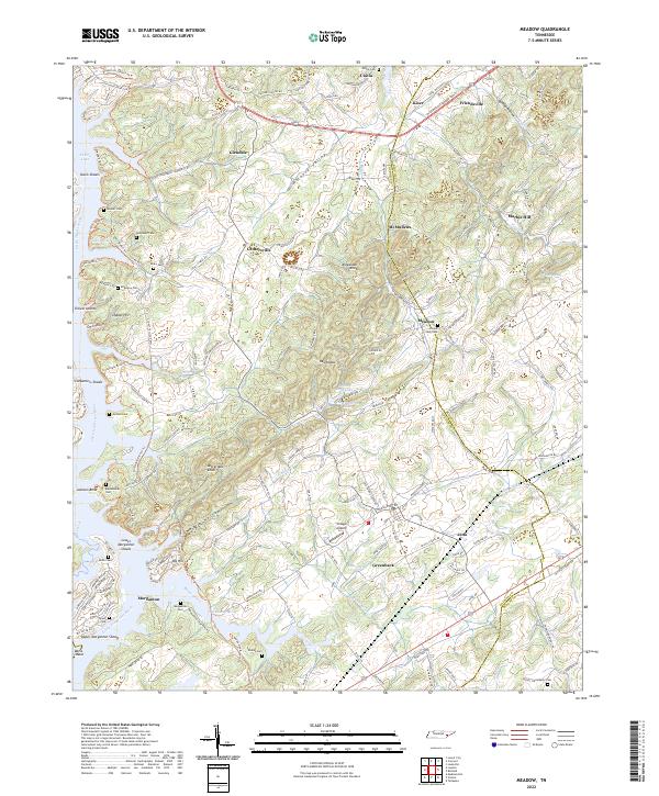
2022 Map of Concord
USGS Topo · Published 2022About this map
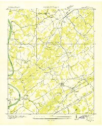
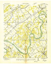
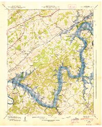
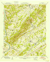
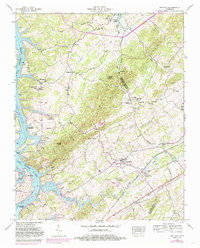
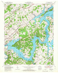
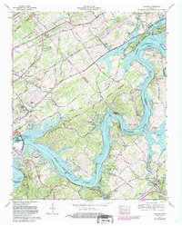
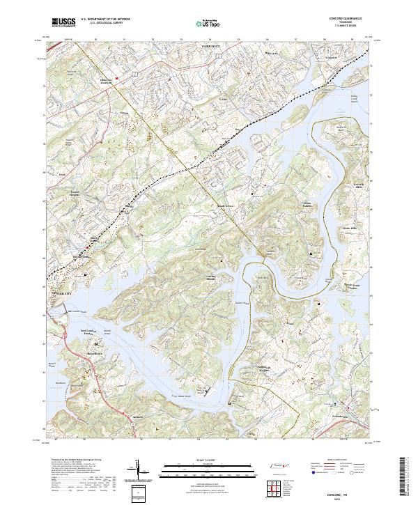
The Tennessee River and its complex shorelines at Fort Loudon Lake and Tellico Lake define the geography of this eastern Tennessee region. The landscape is a network of ridges and river bends, including Blackoak Ridge and Taliaferro Bend, where the water has shaped both the terrain and the settlement patterns. Small communities like Concord and Busselltown sit alongside modern developments such as Choto Estates and Sequoyah Heights. Local history is preserved in numerous family and community burial grounds, such as Long Tom Cem and Leeper Cem, while the area's transition into the modern era is marked by small aviation sites like Raby Airpark and Seabrook Airport. The map also captures the confluence of several counties, showing where the boundaries of Knox, Loudon, and Blount counties meet amidst the river's many shoals and bluffs.
Find a feature on this map
89 named features on this map. Tap any name to fly to it.
Don’t see what you’re looking for? This feature index may not catch every label — zoom into the map to look around manually.
Map Details
Editions of this 2022 Concord Map
This is the sole edition of this map. No revisions or reprints were ever made.
Historical Maps of Antioch Through Time
9 maps found