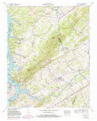
1952 Map of Meadow
USGS Topo · Published 1985About this map
Hickory Valley and the winding course of the Little Tennessee River anchor this mid-century portrait of Loudon and Blount counties. The landscape is dotted with small rural communities and local landmarks like Unitia, Glendale, and Greenback, the latter of which serves as a notable hub along the Seaboard rail line. This 1952 survey, which includes purple updates from the early 1980s, documents a significant transitional period for the region as the waters of Tellico Lake and Ft Loudoun Lake began to alter the riverine geography.
Find a feature on this map
52 named features on this map. Tap any name to fly to it.
Don’t see what you’re looking for? This feature index may not catch every label — zoom into the map to look around manually.
Map Details
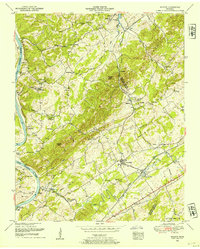
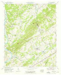
Editions of this 1952 Meadow Map
3 editions found
Other maps of this area

1895 · Loudon
USGS Topo · 1:125,000

1935 · Binfield
USGS Topo · 1:24,000

1935 · Meadow
USGS Topo · 1:24,000

1935 · Lenoir City
USGS Topo · 1:24,000
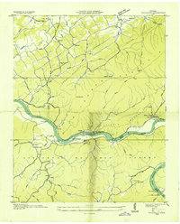
1935 · Tallassee
USGS Topo · 1:24,000
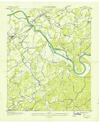
1935 · Vonore
USGS Topo · 1:24,000
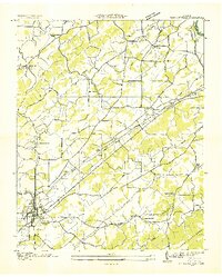
1936 · Madisonville
USGS Topo · 1:24,000

1936 · Louisville
USGS Topo · 1:24,000

1936 · Friendship
USGS Topo · 1:48,000

1936 · Loudon
USGS Topo · 1:24,000