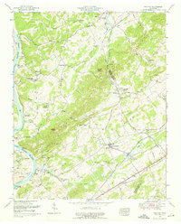
1952 Map of Meadow
USGS Topo · Published 1976About this map
Morganton sits along the southern banks of the Little Tennessee River in this mid-century survey, a period when ferries like Davis Ferry and Niles Ferry still provided vital river crossings. The landscape is defined by the sharp ridges of the Red Knobs and the broad Hickory Valley, where small communities such as Unitia and Glendale are connected by winding country roads. The Louisville and Nashville railroad cuts through the eastern portion of the map, anchoring the town of Greenback.
Find a feature on this map
54 named features on this map. Tap any name to fly to it.
Don’t see what you’re looking for? This feature index may not catch every label — zoom into the map to look around manually.
Map Details
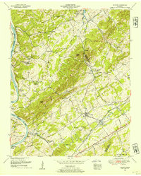
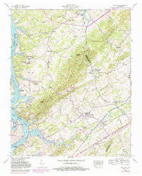
Editions of this 1952 Meadow Map
3 editions found
Other maps of this area

1895 · Loudon
USGS Topo · 1:125,000

1935 · Binfield
USGS Topo · 1:24,000

1935 · Meadow
USGS Topo · 1:24,000

1935 · Lenoir City
USGS Topo · 1:24,000
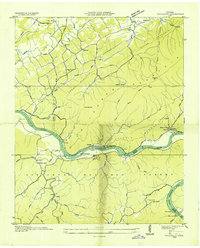
1935 · Tallassee
USGS Topo · 1:24,000
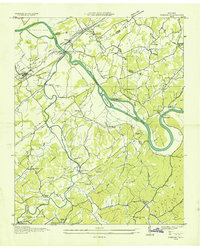
1935 · Vonore
USGS Topo · 1:24,000
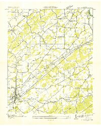
1936 · Madisonville
USGS Topo · 1:24,000

1936 · Louisville
USGS Topo · 1:24,000

1936 · Friendship
USGS Topo · 1:48,000

1936 · Loudon
USGS Topo · 1:24,000