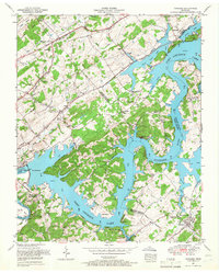
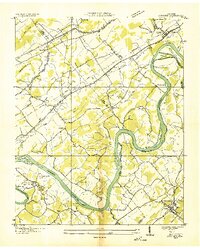
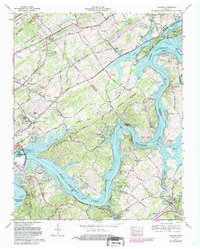
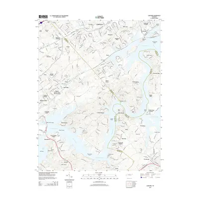
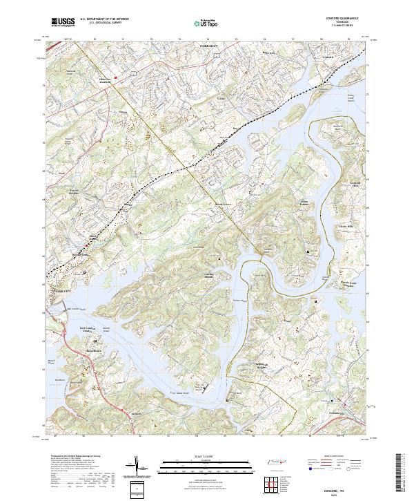
1953 Map of Concord
USGS Topo · Published 1967About this map
The Tennessee River dominates this landscape in the early 1950s, following the creation of Fort Loudoun Lake and the engineering of the Fort Loudoun Dam. The waterway defines the borders between Knox, Loudon, and Blount counties, winding past distinctive river features like Bussell Island and the sharp turn at Taliaferro Bend. On the northern shore, the community of Concord sits at the junction of the Southern Railway and Little Turkey Creek, serving as a primary hub for this riverside region.
Find a feature on this map
61 named features on this map. Tap any name to fly to it.
Don’t see what you’re looking for? This feature index may not catch every label — zoom into the map to look around manually.
Map Details
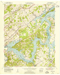
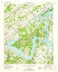
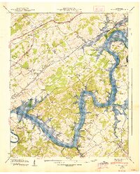
Editions of this 1953 Concord Map
3 editions found
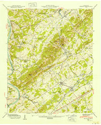
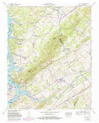
Historical Maps of Farragut Through Time
17 maps found
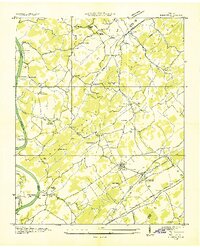
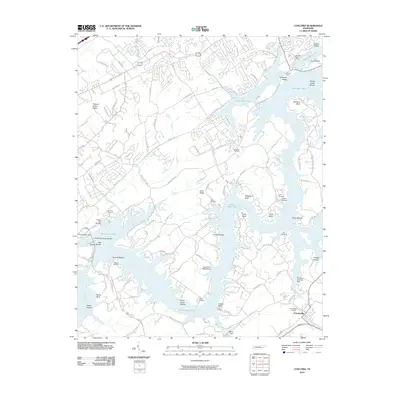
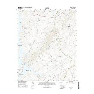
1935 Meadow
Loudon County, TN
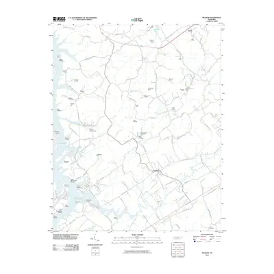
1936 Concord
Loudon County, TN
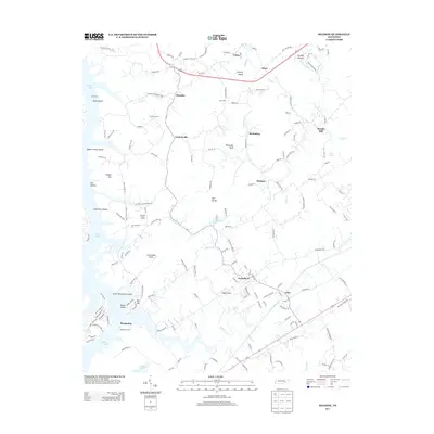
1940 Concord
Loudon County, TN
1940 Meadow
Loudon County, TN
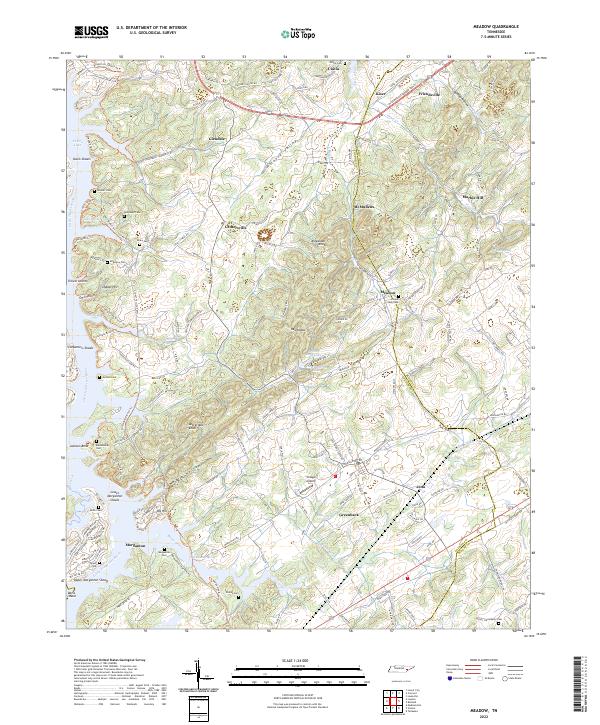
1952 Meadow
Loudon County, TN
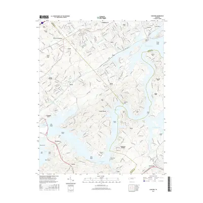
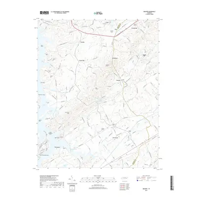
1953 Concord
Loudon County, TN
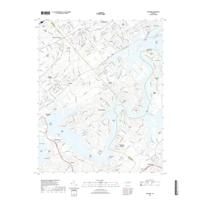
1968 Concord
Loudon County, TN
2010 Concord
Loudon County, TN
2010 Meadow
Loudon County, TN
2013 Meadow
Loudon County, TN
2014 Concord
Loudon County, TN
2016 Concord
Loudon County, TN
2016 Meadow
Loudon County, TN
2019 Concord
Loudon County, TN
2019 Meadow
Loudon County, TN
2022 Concord
Loudon County, TN
2022 Meadow
Loudon County, TN