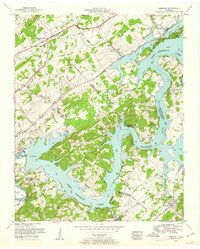
1953 Map of Concord
USGS Topo · Published 1963About this map
Fort Loudoun Dam stands as the defining engineering feature of this mid-century landscape, where the Tennessee River broadens into the expansive Fort Loudoun Lake. The shoreline is deeply articulated by numerous bends and bluffs, including Saltpeter Bluff and Parks Bend, creating a complex waterfront that serves as the boundary for Knox, Loudon, and Blount Counties. This era shows a transition from traditional rural patterns to modern recreation and infrastructure, as evidenced by the Cedar Hill Golf Course and the unique minnow rearing pools near the Southern railroad line.
Find a feature on this map
59 named features on this map. Tap any name to fly to it.
Don’t see what you’re looking for? This feature index may not catch every label — zoom into the map to look around manually.
Map Details
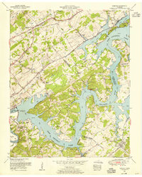
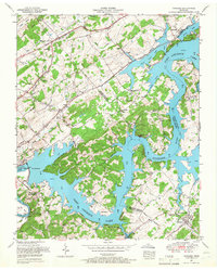
Editions of this 1953 Concord Map
3 editions found
Other maps of this area

1895 · Loudon
USGS Topo · 1:125,000

1935 · Binfield
USGS Topo · 1:24,000

1935 · Meadow
USGS Topo · 1:24,000

1935 · Lenoir City
USGS Topo · 1:24,000

1935 · Bethel Valley
USGS Topo · 1:24,000

1935 · Bearden
USGS Topo · 1:24,000

1935 · Lovell
USGS Topo · 1:24,000

1936 · Louisville
USGS Topo · 1:24,000

1936 · Friendship
USGS Topo · 1:48,000

1936 · Loudon
USGS Topo · 1:24,000