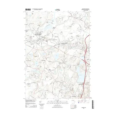
2015 Map of Concord
USGS Topo · Published 2015About this map
Minute Man National Historical Park anchors this portion of Middlesex County, preserving the landscape of the American Revolution’s opening conflict. The area’s profound literary and historical legacy is evident in the cluster of landmarks near Concord, including Revolutionary Ridge, Authors Ridge, and the Old North Bridge. Beyond these core sites, the map details numerous early burying grounds such as the Old Hill Burying Ground and Sleepy Hollow Cem, providing significant touchpoints for genealogical research.
Find a feature on this map
255 named features on this map. Tap any name to fly to it.
Don’t see what you’re looking for? This feature index may not catch every label — zoom into the map to look around manually.
Map Details
Editions of this 2015 Concord Map
This is the sole edition of this map. No revisions or reprints were ever made.
Other maps of this area

1886 · Lawrence
USGS Topo · 1:62,500

1886 · Lowell
USGS Topo · 1:62,500

1886 · Framingham
USGS Topo · 1:62,500

1888 · Lawrence
USGS Topo · 1:62,500

1889 · Framingham
USGS Topo · 1:62,500

1893 · Lowell
USGS Topo · 1:62,500

1893 · Boston
USGS Topo · 1:62,500

1893 · Lawrence
USGS Topo · 1:62,500

1894 · Framingham
USGS Topo · 1:62,500

1903 · Boston
USGS Topo · 1:62,500