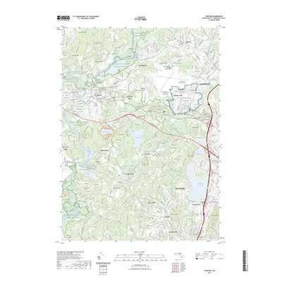
2023 Map of Concord
USGS Topo · Published 2023About this map
Minute Man National Historical Park anchors this study of the landscape surrounding Concord, where modern infrastructure meets revolutionary heritage. The map details the complex geography of the Sudbury River and Concord River, preserved within the Great Meadows National Wildlife Refuge. Cultural landmarks like Walden Pond and Egg Rock are charted alongside aviation centers such as Hanscom Air Force Base and Laurence G Hanscom Field. Genealogists will find several burial sites, including the Old Burying Ground and Saint Bernard's Catholic Cem. The preservation of open spaces like Fairyland Pond and Authors Ridge contrasts with the dense residential and transit networks of Waltham and Bedford. Modern recreational corridors like the Mass Central/Wayside Rail-Trl and Minuteman Bikeway Trl follow the path of earlier rail routes, illustrating the evolution of transport in Middlesex County.
Find a feature on this map
105 named features on this map. Tap any name to fly to it.
Don’t see what you’re looking for? This feature index may not catch every label — zoom into the map to look around manually.
Map Details
Editions of this 2023 Concord Map
This is the sole edition of this map. No revisions or reprints were ever made.
Other maps of this area

1886 · Lawrence
USGS Topo · 1:62,500

1886 · Lowell
USGS Topo · 1:62,500

1886 · Framingham
USGS Topo · 1:62,500

1888 · Lawrence
USGS Topo · 1:62,500

1889 · Framingham
USGS Topo · 1:62,500

1893 · Lowell
USGS Topo · 1:62,500

1893 · Boston
USGS Topo · 1:62,500

1893 · Lawrence
USGS Topo · 1:62,500

1894 · Framingham
USGS Topo · 1:62,500

1903 · Boston
USGS Topo · 1:62,500