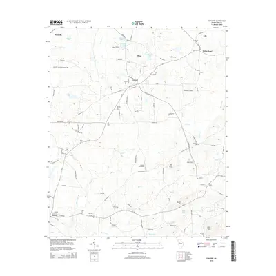
2014 Map of Concord
USGS Topo · Published 2014About this map
Concord and the surrounding rural communities of Pike County are defined by a network of family-owned lands and small-scale aviation fields. This 2014 survey reveals an area deeply rooted in its local history, where numerous cemeteries such as Magnolia Cem and Millner Cem mark the heritage of early families near Hilltop and Bottoms. The landscape is a mix of agricultural plots and dense creek drainages, with Elkins Cr and Bull Cr providing the primary drainage towards the south.
Find a feature on this map
122 named features on this map. Tap any name to fly to it.
Don’t see what you’re looking for? This feature index may not catch every label — zoom into the map to look around manually.
Map Details
Editions of this 2014 Concord Map
This is the sole edition of this map. No revisions or reprints were ever made.
Other maps of this area

1907 · Talbotton
USGS Topo · 1:125,000

1934 · Warm Springs
USGS Topo · 1:62,500

1935 · Thomaston
USGS Topo · 1:48,000

1936 · Warm Springs
USGS Topo · 1:62,500

1939 · Thomaston
USGS Topo · 1:62,500

1953 · Atlanta
USGS Topo · 1:250,000

1955 · Phenix City
USGS Topo · 1:250,000

1957 · Phenix City
USGS Topo · 1:250,000

1957 · Atlanta
USGS Topo · 1:250,000

1958 · Phenix City
USGS Topo · 1:250,000