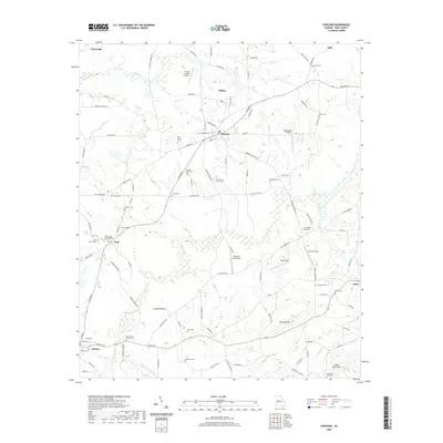
2020 Map of Concord
USGS Topo · Published 2020About this map
Concord and its neighboring communities in Pike County, Georgia, anchor this 2020 landscape where agrarian roots meet private aviation. The map reveals a dense network of local cemeteries that testify to the area's deep family histories, including Magnolia Cem, Old Hebron Cem, and Mount Olive Church Cem. These burial grounds and their associated houses of worship, such as Neal Baptist Church Cem, provide invaluable data points for genealogical research across the region.
Find a feature on this map
113 named features on this map. Tap any name to fly to it.
Don’t see what you’re looking for? This feature index may not catch every label — zoom into the map to look around manually.
Map Details
Editions of this 2020 Concord Map
This is the sole edition of this map. No revisions or reprints were ever made.
Other maps of this area

1907 · Talbotton
USGS Topo · 1:125,000

1934 · Warm Springs
USGS Topo · 1:62,500

1935 · Thomaston
USGS Topo · 1:48,000

1936 · Warm Springs
USGS Topo · 1:62,500

1939 · Thomaston
USGS Topo · 1:62,500

1953 · Atlanta
USGS Topo · 1:250,000

1955 · Phenix City
USGS Topo · 1:250,000

1957 · Phenix City
USGS Topo · 1:250,000

1957 · Atlanta
USGS Topo · 1:250,000

1958 · Phenix City
USGS Topo · 1:250,000