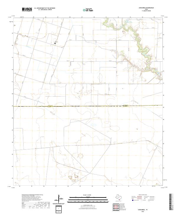
2022 Map of Concordia
USGS Topo · Published 2022About this map
Saint Paul Cem sits as a quiet landmark within this coastal prairie landscape, where the agricultural grid of the South Texas plains meets the meandering drainage of the Oso Creek watershed. The terrain is defined by the winding course of Petronila Creek and its various segments, including the northern waters of Gertrude Lubby Lake. To the west, the drainage of Chiltipin Cr carves through the fields, illustrating the subtle hydrology that dictates the region's land use.
Find a feature on this map
23 named features on this map. Tap any name to fly to it.
Don’t see what you’re looking for? This feature index may not catch every label — zoom into the map to look around manually.
Map Details
Editions of this 2022 Concordia Map
This is the sole edition of this map. No revisions or reprints were ever made.
Other maps of this area

1924 · Petronilla
USGS Topo · 1:62,500

1928 · Sarita
USGS Topo · 1:125,000

1950 · Corpus Christi
USGS Topo · 1:250,000

1951 · Riviera Beach NE
USGS Topo · 1:24,000

1952 · Riviera Beach NW
USGS Topo · 1:24,000

1952 · Riviera Beach
USGS Topo · 1:62,500

1954 · Kingsville
USGS Topo · 1:62,500

1954 · Petronila
USGS Topo · 1:62,500

1954 · Riviera
USGS Topo · 1:62,500

1956 · Corpus Christi
USGS Topo · 1:250,000