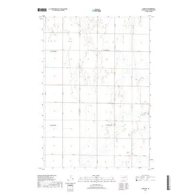
2017 Map of Conde SW
USGS Topo · Published 2017About this map
Timber Cr meanders through this agricultural section of Spink County, defining the drainage patterns of a landscape marked by numerous small wetlands and basins. This part of the James River valley is organized by a precise section-line road grid, where local routes like Co Rd 14 and 158th St facilitate movement between large farm plots. The map captures the subtle topography of the prairie, showing the low-lying areas where water collects during the spring thaw or heavy rains. While primarily rural and focused on large-scale cultivation, the network of numbered avenues, such as 402nd Ave, and county roads like Co Rd 7 reveals the enduring structure of the township and range survey system that shaped South Dakota's settlement patterns into the twenty-first century.
Find a feature on this map
21 named features on this map. Tap any name to fly to it.
Don’t see what you’re looking for? This feature index may not catch every label — zoom into the map to look around manually.
Map Details
Editions of this 2017 Conde SW Map
This is the sole edition of this map. No revisions or reprints were ever made.
Other maps of this area

1894 · Conde
USGS Topo · 1:62,500

1895 · Byron
USGS Topo · 1:125,000

1895 · Aberdeen
USGS Topo · 1:125,000

1953 · Brentford
USGS Topo · 1:24,000

1953 · Frankfort
USGS Topo · 1:24,000

1953 · Huron
USGS Topo · 1:250,000

1954 · Aberdeen
USGS Topo · 1:250,000

1954 · Huron
USGS Topo · 1:250,000

1956 · Aberdeen
USGS Topo · 1:250,000
1958 · Randolph
USGS Topo · 1:24,000