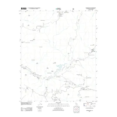
2012 Map of Condor Peak
USGS Topo · Published 2012About this map
Big Tujunga Reservoir serves as a central anchor for this portion of the San Gabriel Mountains, where the canyon landscape is defined by a dense network of recreational camps and mountain summits. In the early 21st century, the area is marked by established community sites such as the Burbank YMCA Camp and the Clear Creek School Camp. The terrain is characterized by prominent peaks including Mount Lukens, Condor Peak, and Hoyt Mountain, separated by deep drainages like Big Tujunga Cr and Arroyo Seco. Small settlements and landmarks such as Singing Springs, Wildwood, and the Ybarra Ranch reflect a history of habitation along the canyon floor. A significant concentration of public grounds, including Vogel Flats Campground and Stoneyvale Campground, highlights the region's role as a major recreational gateway for the nearby Los Angeles basin.
Find a feature on this map
78 named features on this map. Tap any name to fly to it.
Don’t see what you’re looking for? This feature index may not catch every label — zoom into the map to look around manually.
Map Details
Editions of this 2012 Condor Peak Map
This is the sole edition of this map. No revisions or reprints were ever made.
Other maps of this area

1894 · Los Angeles
USGS Topo · 1:62,500

1896 · Pasadena
USGS Topo · 1:62,500

1896 · Santa Monica
USGS Topo · 1:62,500

1898 · Santa Monica
USGS Topo · 1:62,500

1900 · Pasadena
USGS Topo · 1:62,500

1900 · Tujunga
USGS Topo · 1:62,500

1900 · Los Angeles
USGS Topo · 1:62,500

1900 · Fernando
USGS Topo · 1:62,500

1901 · Southern California Sheet No. 1
USGS Topo · 1:250,000

1902 · Santa Monica
USGS Topo · 1:62,500